Day 38 - Friday, April 2, 2021
The cold front is still passing through which meant the am temperatures were again chilly, 27° with blustery cold winds gusting over 20 mph. To compound the cooler temperatures we are hitting the trail at first light to give us ample time to complete today’s long hike.


Most of the trail at elevation 2700 feet consisted of “beach sand” which means that the valley was one time a glacier lake many thousands possibly millions of years ago.


Views from McAfee Knob.

Rock passage at McAfee’s Knob.


Okay Jim, it’s safe to come ahead!

Looking back at McAfee Knob gives you more perspective of the vertical change in elevation that we make several times every day.


Amazing views from McAfee Knob. There was a 100 ft vertical face in front of me.


Today we are continuing from US 220, Daleville, VA (730.3 NoBo) to VA 311, Catawba, VA (710.5 NoBo) equaling 19.8 miles; our longest hike to date. With today’s hike we will have joined the AT 400 mile club with 418. 7 miles completed.
We began hiking at 7:05 am... it was still dusk.


The Johns Spring Shelter.

Most of the trail at elevation 2700 feet consisted of “beach sand” which means that the valley was one time a glacier lake many thousands possibly millions of years ago.


Views from McAfee Knob.

Rock passage at McAfee’s Knob.

We saw several deer today.


Okay Jim, it’s safe to come ahead!
At 10:45 am we were progressing a rock scramble up a vertical face and my trekking pole slipped which resulted in me putting my hand down to catch myself; that cost me a drink 😡

Looking back at McAfee Knob gives you more perspective of the vertical change in elevation that we make several times every day.


Amazing views from McAfee Knob. There was a 100 ft vertical face in front of me.


Lamberts Meadows.


Mountain Spring daffodils.

Lamberts Meadows Shelter.


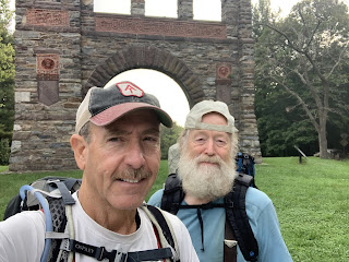
Turtle Power returning the favor...

View of Carvins Cove Reservoir from Hay Rock Overlook.
We finished hiking at 6:10 pm, temperature was 45° (high for the day). It was sunny all day but very windy and most of the trail was ridge running which didn’t give us much relief.
Till next time... Happy Hiking 🥾
😋


Comments
Post a Comment