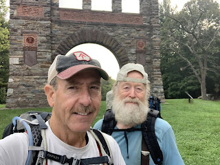
Day 28 - Tuesday, March 23, 2021
Today we are hiking from VA 56, Tye River Suspension Bridge (834.5 NoBo) to Salt Log Gap, USFS 63 (817.6 NoBo) totaling 16.9 miles. We go to the starting location and it turns out we are at Hog Camp Gap, USFS 48 (815.4 NoBo) not Salt Log Gap, so we actually hiked 19.1 miles 😏
We began hiking at 7:45 am, a little later than we anticipated; the weather was cloudy and temperature was 46°.


This is where we intended to start.

We found a homemade deer cart. It was made of a metal drum and bicycle rims for wheels. The owner must just leave it in the woods and use it as needed. Without this ingenious cart, dragging a deer out of the woods could be a major endeavor.


The cloud ceiling was very low, around 2400 ft. And considering we were above that elevation most of the day and as high as 4100 ft . I always wondered what the inside of a cloud felt like? It was not a good day for enjoying the scenic views. And it began raining around 11:00 am.


Just a dreary, dismal day to hike.

It finally stopped raining and cleared up about 3:00 pm.


This shows how the trail “switchbacks” traversing a side hill slope.

A reliable water source at Cripple Creek.
We finished hiking at 5:00 pm. Weather was overcast and the temperature was 47°.

Till next time... Happy Hiking 🥾
😋


Comments
Post a Comment